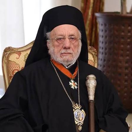
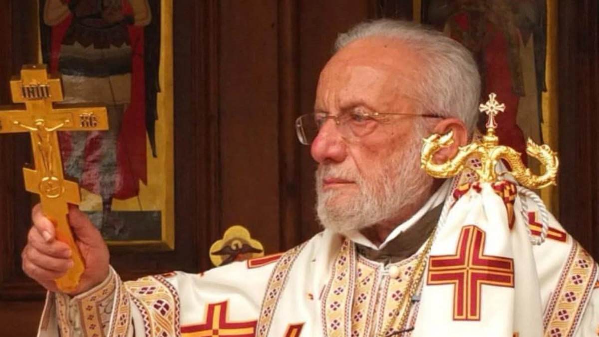
After the Absence of Rain... Father Khneizer Reveals the Return Date of Atmospheric Low-Pressure Systems to Lebanon
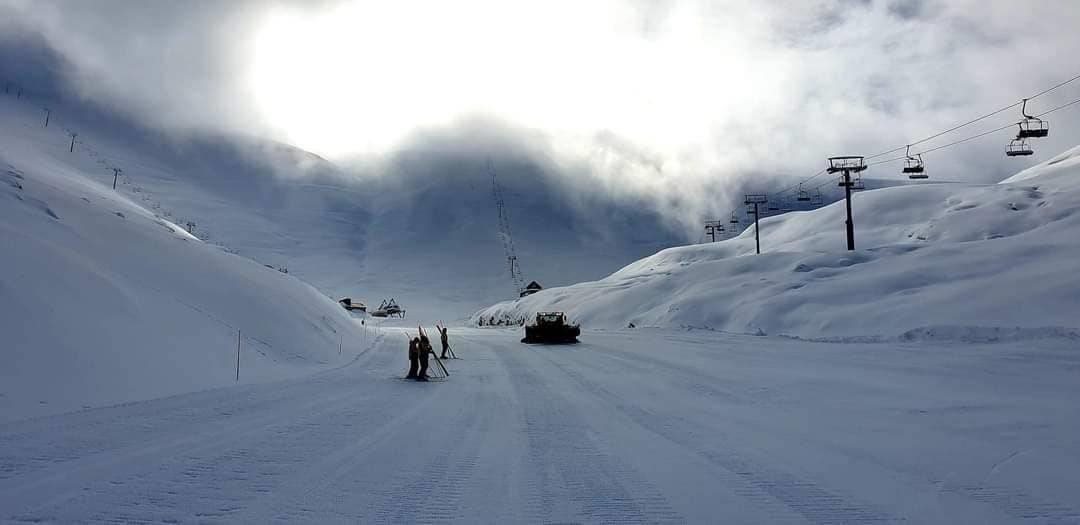
According to the meteorologist Father Eli Khunser, after the Icelandic low pressure system passed through Europe, particularly Scandinavian countries and central Europe, the Atlantic lows moved towards central and northern Europe, reaching northwestern Russia. This led to a drop in pressure in some centers to around 980 hPa, indicating increased activity in the low-pressure system over those areas. In contrast, a subtropical high pressure system intensified over Syria and Lebanon, recording a pressure of about 1024 hPa, while the Azores high extended to North Africa with pressures up to 1026 hPa. This pressure distribution has kept the low-pressure systems away from the eastern Mediterranean, leading to a two-week period of no rain in Lebanon and the region. Father Khunser expects this situation to continue for the upcoming week, with high-pressure systems dominating the region, resulting in stable weather and lack of significant rainfall. He added that the weather patterns are not static, and what seems to be a barrier today could become a passage for low-pressure systems tomorrow. According to his forecasts, December might bring a change in the weather pattern, with a higher chance of cold low-pressure systems and rain returning to Lebanon, along with potential snowfall in the Lebanese mountains, as the Red Sea low-pressure system expands towards Palestine, Lebanon, and Jordan.
Written by LebaneseInsider with AI assistance from the reports below, each claim attributed to its outlet. Read the original reports for full details.
Reporting timeline
2 outletsReports grouped around the same specific event, ordered by original publication time. Source headlines below retain their original language. Coverage count is not independent confirmation.